Terrain & 3D mapping
Exploring photogrammetry and LiDAR applications for detailed surface models, terrain interpretation and 3D visualisation.
About me
People & the environment
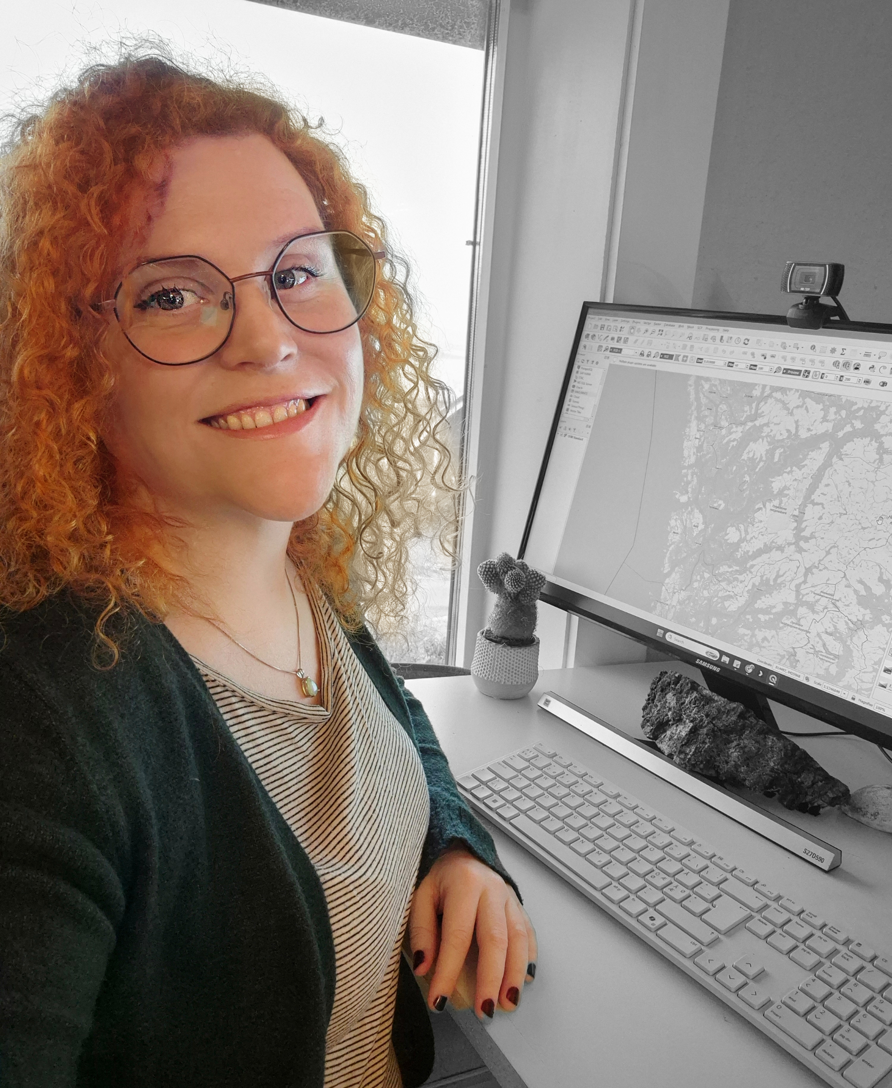
My education combines a master's in Geographic Information Systems and Remote Sensing from Ulster University with a bachelor's degree in human geography from Aberystwyth University.
At SALT, I worked with digital cartography, remote sensing and environmental analysis in marine and coastal projects. My contributions include the technical side of SALT Trail 2.0, marine mapping, conservation communication and the exploration of kelp classification methods.
A geodata placement with Sandefjord Municipality and volunteer GIS work connected to recreational water mapping in Ireland gave me further insight into how geographic information supports practical decisions.
Through Sigrøn, I am developing independent projects around Goksjø water quality and darker skies, while exploring drone applications, LiDAR, photogrammetry and machine learning for geospatial analysis.
Earlier work in health and social care, including team leadership in the UK, shaped the way I communicate, collaborate and approach people’s needs.
View my career & educationDeveloping my practice
I'm building on my GIS and remote sensing background to explore how drone data can bring local detail to environmental and landscape analysis.
Exploring photogrammetry and LiDAR applications for detailed surface models, terrain interpretation and 3D visualisation.
Investigating how drone data could support closer study of vegetation structure, habitat patterns and local environmental change.
Exploring how local drone observations can complement satellite imagery and existing GIS datasets.
Tools & methods
ArcGIS Pro, QGIS, Google Earth Engine, ESA SNAP, ENVI and ERDAS Imagine.
Python, JavaScript, Matlab, Support Vector Machine and Random Forest classification.
CloudCompare, CAD, OpenSidescan, DeepView, cartography, StoryMaps and 3D visualisation.
Let's connect
I'm interested in work that connects geospatial analysis with environmental questions and practical decisions.
alexandrafjellvik@gmail.comSandefjord, Norway · +47 913 29 902